Almost all roads in Japan that are managed by local governments have names.
In some cases, local governments publish the names of their roads on their websites, which is a very useful source of information.
In addition, each piece of land in Japan is small, so the roads are like a spider’s web.
The following example shows how to name each road with a “name” tag.
https://www.openstreetmap.org/#map=15/35.3400/136.9140
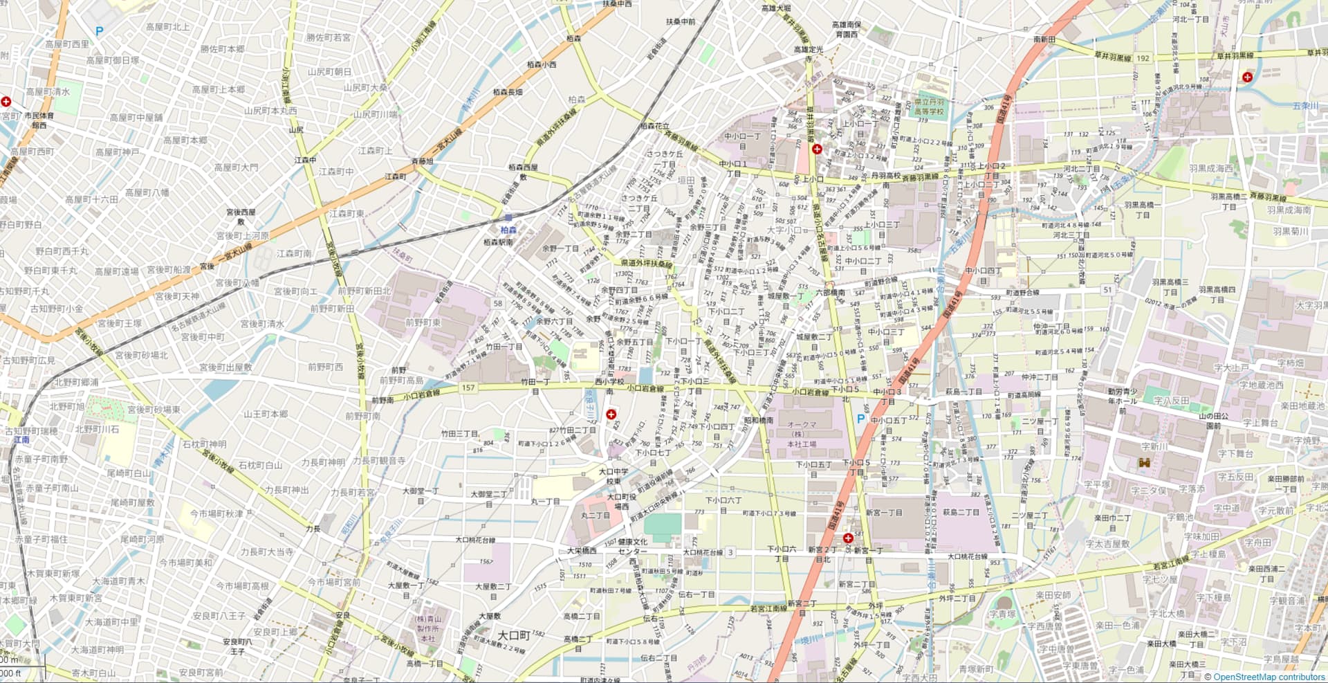
As you can see, at zoom level 15 the map is not beautiful due to the names of the roads.
Is there a better way to solve this problem?
2 posts - 2 participants
Ce sujet de discussion accompagne la publication sur https://community.openstreetmap.org/t/about-the-name-of-the-road-drawn-by-carto/4132